Route Review: Guelph to Goderich (G2G)
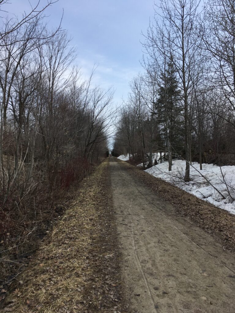
The Guelph-to-Goderich rail trail is about 130km of hard-packed gravel, with minimal elevation/hill climbing and mostly sheltered from traffic. I’ve biked this trail in its entirety from Guelph all the way to Goderich twice, enjoying it both times, once in perfect, warm weather, and once in cold rain.
Overall Ratings
Route Map
The G2G trail is basically a straight, there-and-back route of roughly 130km each way.
Route Highlights & Sights
Some of my favourite things on this route include:
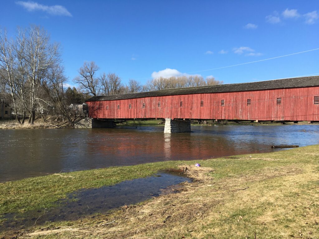
- The Kissing Bridge & Grand River Detour
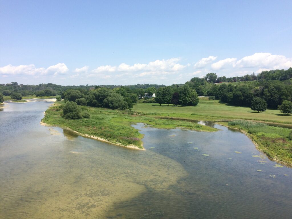
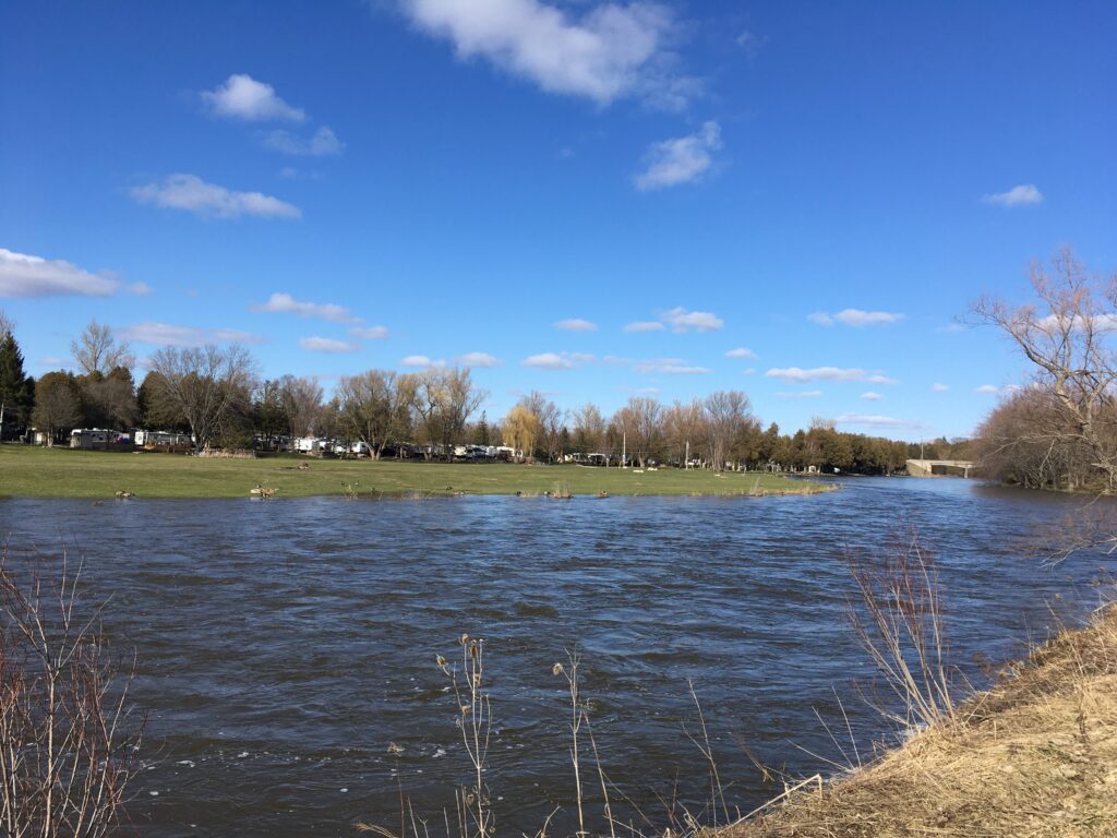
- The Maitland River crossing
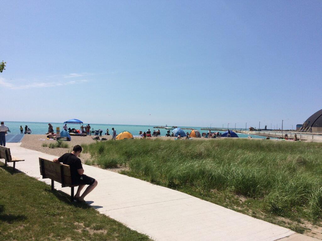
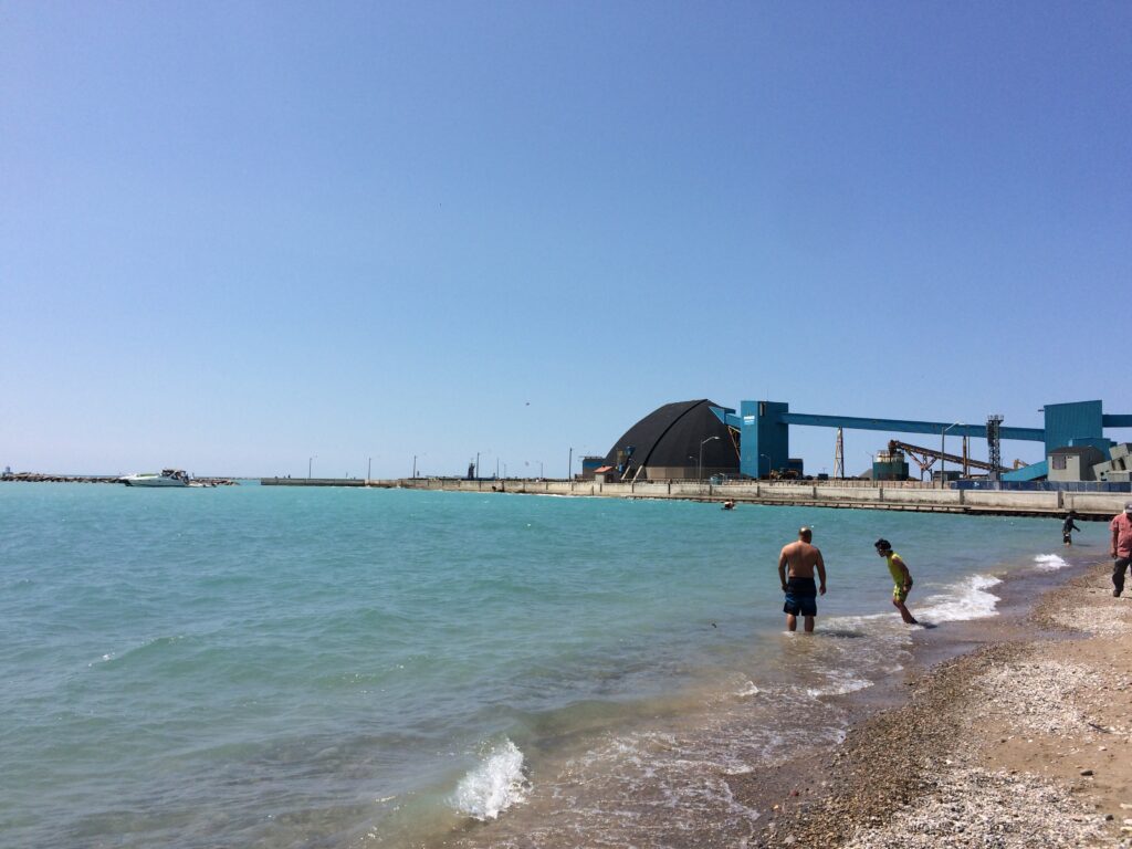
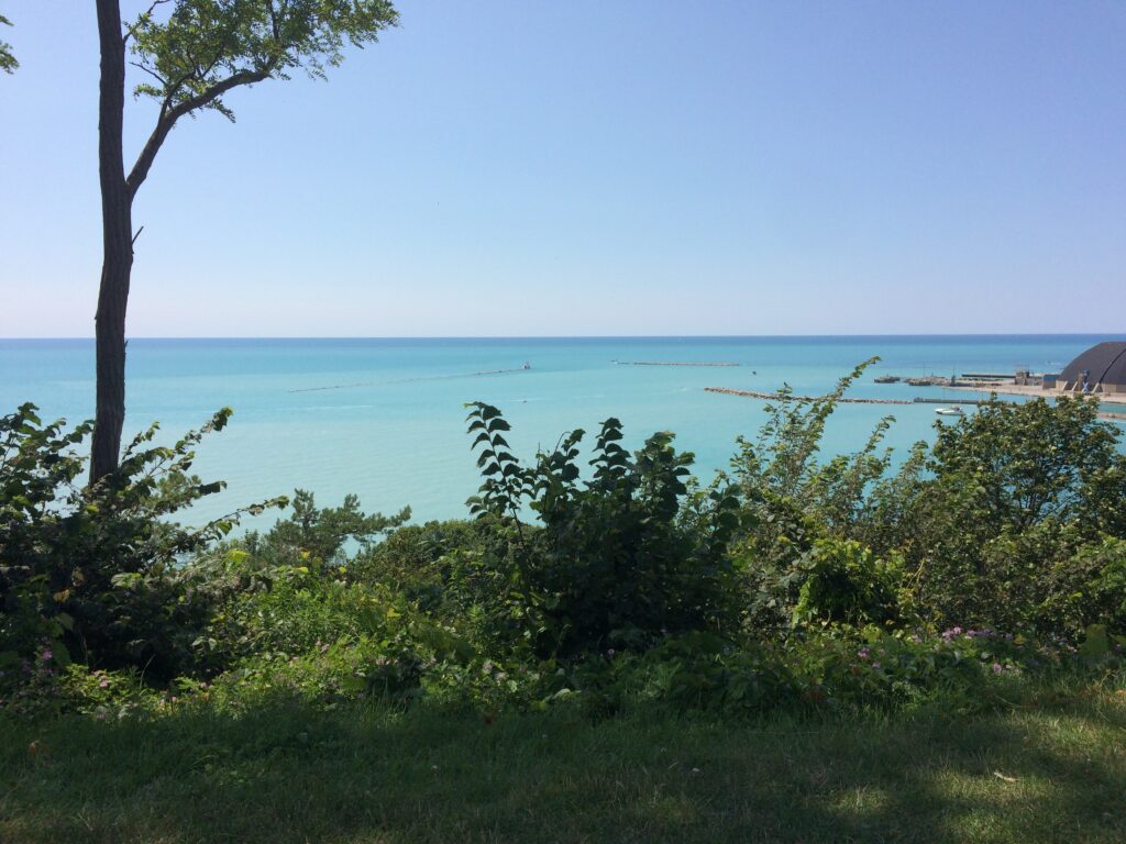
- Arriving at the Lake Huron coast
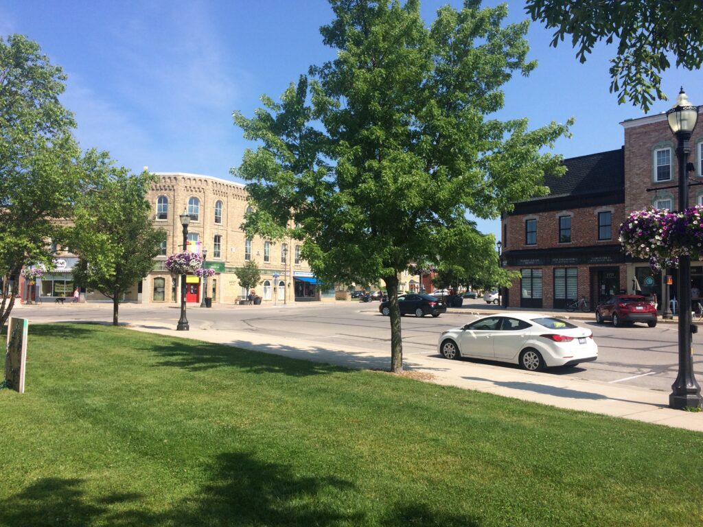
- Downtown Goderich
- All of the Ontario farmland and small towns the route passes through
Cycling Difficulty
The total length of this trail from Guelph to Goderich is a lot to tackle in one day. Both times I have ridden this trail, it has ended up taking 150km of riding to get from one end to the other. Be prepared for 300km of riding in two days if you plan on doing this in one weekend. Despite the distance for a two-day trip, the riding itself is easy if the weather is good—the terrain is almost completely flat gravel with few potholes and very mild inclines. If it is raining, however, the gravel gets soft and you have to use a lot more energy to pedal through it, making the overall distance that much more challenging if you are on a tight schedule. The first time I cycled this route in its entirety, I had done zero cycling before, and I was extremely sore afterwards for a week. Having done it a second time in much better cycling shape, I recommend riding a couple of times per week, at least 20km per ride, for a few weeks before tackling the G2G trail in its entirety to reduce the likelihood of soreness or overuse pain.
Navigation Difficulty
This is probably the easiest multi-day route to navigate that I have cycled. You do not need a GPS bike computer—the route is a straight line on the trail and it has good signage. There are a few small detours around rivers (most notably around the Maitland River) so it is handy to have cell phone with reception in case you make a wrong turn there, but overall it would be difficult to get lost on this route; navigating it is easy.
Food & Snack Stops
There are stretches on this route that have very little to offer in terms of food; especially if you are cycling on a Sunday, or after 5:00pm. I would recommend stopping in Milverton for hot food (a roughly half-way point on the trail)—there is a small grocery store, a couple of cafés and a diner called Karen’s Kitchen that has good hot meals. Once you get to Goderich, there are more food options, however between Milverton and Goderich you won’t encounter a lot outside of the odd convenience store, unless you are prepared to cycle a number of kilometres off-trail. Closer to Goderich, there is a popular brewery in Blyth called Cowbell Brewery that some people who cycle this route seem to enjoy stopping at as well.
Hotel & Campsite Availability
There are a number of hotels in Goderich, very close to the trail when you arrive downtown. I’ve had a good experience at the reasonably priced Bedford Hotel, which also has a pub on the main floor. If you are camping, there are also a number of conservation areas relatively close to Goderich. I have camped at the Falls Reserve Conservation Area, which is a few extra kilometres from the trail, but is a good cheap option if you can get a site and the weather is good.
Overall Rating
Overall the G2G is a great introductory trail for multi-day bike trips. It’s flat, well-shaded, away from traffic, and scenic. Though it is long for a two-day ride, it could be broken up into three or even four days if you wanted to make a very leisurely long weekend out of it.
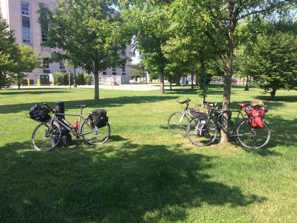
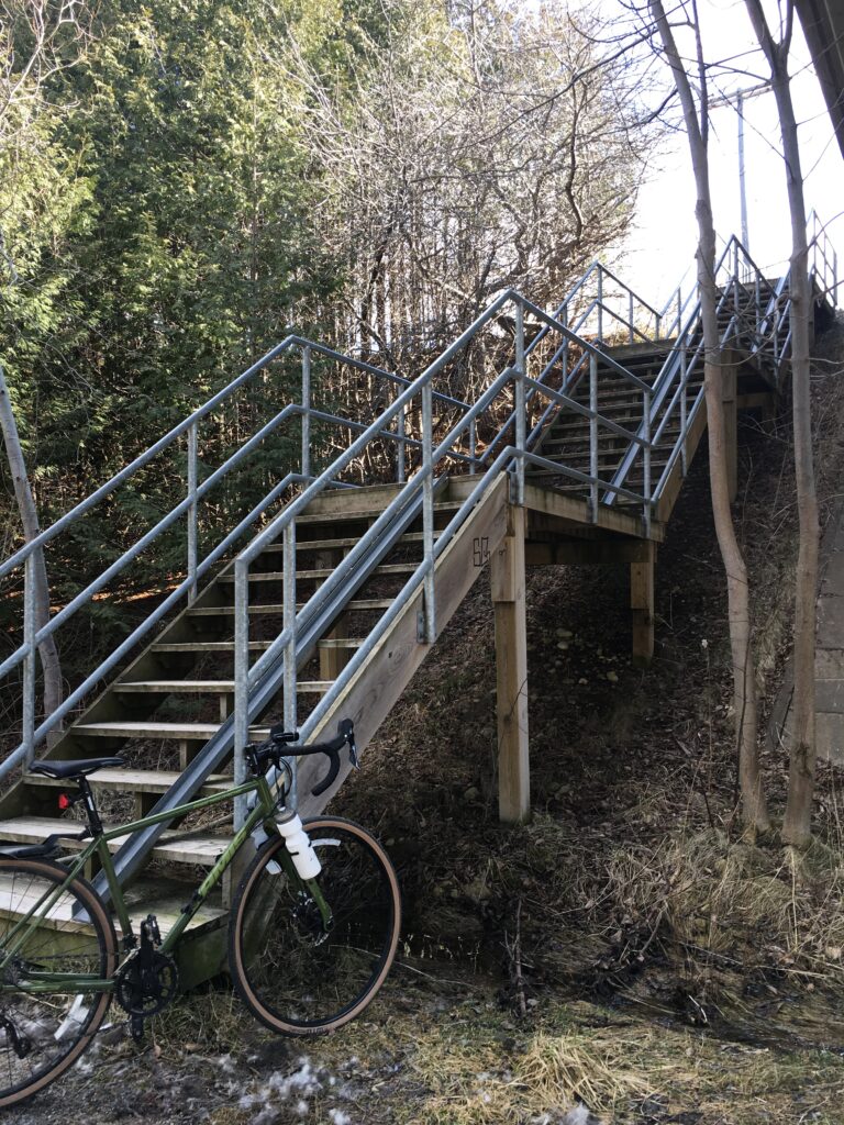
Route Photos